Tina Roth · 15 September 2026
Fichteberg Locals Launch Initiative to Catalog Rare Moss Species in Shaded Ravines
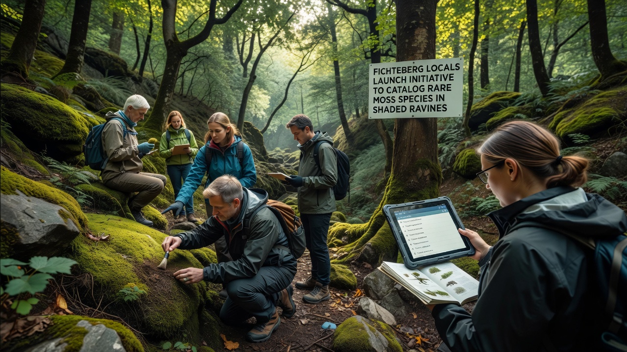
Residents around Fichteberg have started a coordinated project to document rare moss species growing in the area's shaded ravines, with fieldwork beginning in September 2026. The effort draws on local knowledge of the terrain combined with systematic recording methods that researchers have refined over recent decades. Volunteers gather specimens, photograph growth patterns, and log environmental conditions such as moisture levels and light exposure at each site.
Background on Fichteberg Ravines and Bryophyte Diversity
The ravines that cut through the lower slopes of Fichteberg support microclimates where humidity stays high and direct sunlight remains limited for most of the year. These conditions favor certain bryophytes that rarely appear in more open woodland or alpine zones higher up the mountain. Data collected by regional mapping programs show that several moss taxa occur only within narrow elevation bands along these drainages, and their presence often signals stable, undisturbed forest floor conditions.
Local groups have tracked changes in vegetation cover for years through informal observations passed along during hiking club meetings and forestry volunteer days. In 2025, participants compared notes with staff from the German Federal Agency for Nature Conservation and identified gaps in existing species lists for the ravine systems. The new initiative builds directly on those earlier exchanges by adding standardized sampling protocols and digital submission tools.
How the Initiative Operates
Participants receive training in basic identification techniques and use a shared online platform to upload records. Each entry includes GPS coordinates, substrate type, associated plant species, and photographs taken at multiple angles. Experts review submissions weekly, and verified records feed into a central database maintained by a nearby university herbarium. Teams divide the ravine network into sectors so that coverage remains even across steep sections where access is limited to narrow trails.
Equipment stays simple. Volunteers carry hand lenses, small collection envelopes, and portable data loggers that measure temperature and relative humidity over 24-hour periods. When rare species appear, teams mark locations with discreet tags rather than removing material, which allows repeated visits without disturbing colonies. This approach aligns with guidelines issued by several European bryophyte working groups that emphasize non-destructive monitoring.
Species of Interest and Recording Methods
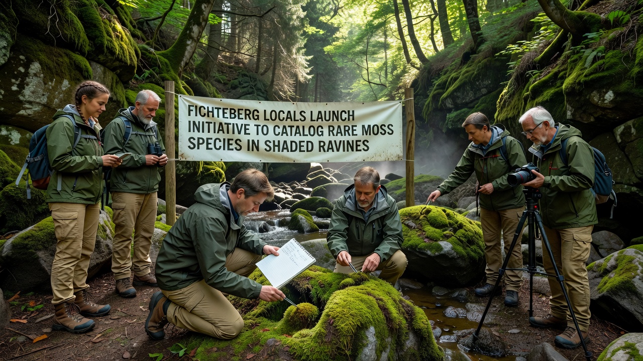
Early submissions have already flagged several taxa previously known only from scattered herbarium sheets dating back to the 1970s. One species appears restricted to north-facing rock faces kept constantly damp by seepage. Another grows on decaying logs that remain shaded throughout the summer months. Observers note that these mosses often form mixed mats with liverworts, creating layered communities that change composition over short distances along each ravine floor.
Training sessions held in late August 2026 covered the use of dichotomous keys tailored to the regional flora, and participants practiced distinguishing similar-looking species under field conditions. The program also incorporates macro photography techniques that capture diagnostic leaf shapes and sporophyte structures without magnification equipment beyond a smartphone attachment. Records now include time-stamped images that allow later verification by specialists located elsewhere in Germany and neighboring countries.
Connections to Broader Biodiversity Monitoring
The project links directly to ongoing national surveys coordinated by research institutions that track shifts in lower plant distributions. Figures released by the European Environment Agency indicate that bryophyte communities respond quickly to changes in forest management and microclimate, making them useful indicators for habitat quality. By contributing localized data from Fichteberg, volunteers add resolution to maps that currently rely on broader grid cells.
One study conducted by researchers at the University of British Columbia examined similar ravine systems in western Canada and found that rare mosses declined sharply after even modest increases in canopy openness. Those findings prompted the Fichteberg teams to include canopy density measurements in their standard protocol, which creates comparable datasets across continents without requiring travel or shared funding.
Community Involvement and Data Sharing
Schools in nearby towns have begun incorporating site visits into biology classes, giving students direct experience with field recording. Older residents contribute historical knowledge about which ravines were logged or cleared in past decades, information that helps explain current distribution patterns. All data remain publicly accessible through the herbarium portal, and contributors receive credit on published maps once records pass review.
Monthly meetings allow teams to discuss access challenges, such as seasonal trail closures or periods of high water that limit entry to certain sectors. Solutions range from rescheduling visits to using lightweight bridges for stream crossings. These practical adjustments keep the project moving forward while respecting both safety and conservation rules already in place for the area.
Conclusion
The Fichteberg moss cataloging effort demonstrates how sustained local participation can fill gaps in species distribution records that larger agencies lack resources to address alone. As records accumulate through September 2026 and beyond, the resulting dataset will support future habitat assessments and management decisions for the shaded ravine systems. Continued coordination with academic and governmental partners ensures that findings integrate with wider European biodiversity monitoring programs without duplicating existing work.